Hydrology with AI and
Remote Sensing

We investigate the impact of climate changes on regional to the global scale water cycle with remote sensing, land surface models, and AI/machine learning technics.

Our goal is to understand how water movement across the land surface relates to broader-scale behavior, and to improve the accuracy of natural disaster and water resource predictions by applying remote sensing and machine learning techniques in the context of the climate crisis.

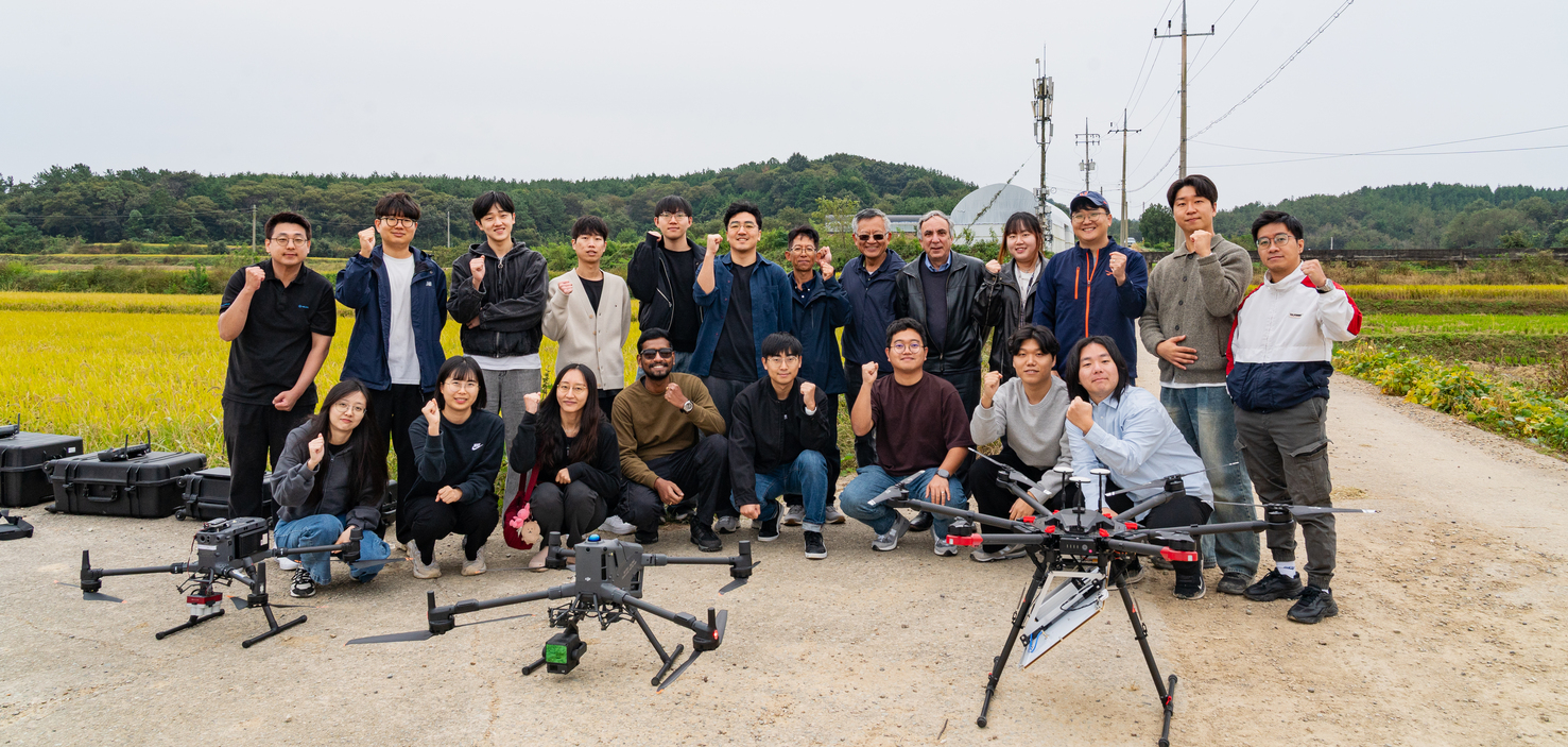
우리 수문 원격탐사 인공지능 연구실(HydroAI)은 기후변화/인간 활동에 의한 환경의 변화와 자연재해/수자원 예측 및 분석을 위해 인공위성 및 수치모델 자료와 AI/기계학습 기술을 적극 활용합니다. 전 지구적 규모로 발생하는 자연재해(가뭄, 홍수, 산불, 황사 등) 및 수자원을 위성 영상을 통해 더욱 신속하고 정확하게 예측하는 것은 기후변화에 대응한 가장 중요한 연구 분야로 주목받고 있습니다. 우리 연구실에서 현재 진행하고 있는 프로젝트는 여기에서 확인이 가능합니다.

• 위성 원격 탐사, 수치모델, 기후변화, 환경 분야 Domain Scientist로 AI/기계학습 방법론 적용 연구에 대한 열정을 가지고 있는 학부생 및 대학원 진학 예정 학생을 환영합니다.

• (2024년도 하반기) 드론을 이용한 환경 원격탐사에 경험 및 관심이 있는 학생을 모집합니다.

• 딥러닝 방법론 중 partial convolution neural network (PCNN), super-resolution GAN (SRGAN), reinforcement learning (RL) 등을 활용한 위성 이미지 분석 및 정확도 향상, long short-term memory (LSTM), gated recurrent unit (GRU), Transfer Learning (TL) 을 활용한 각종 자연재해 예측, 지표 모델링 위한 loss function 개발에 관심이 있는 학생들을 환영합니다.

• 석사/박사 (한국)학생의 경우 여름/겨울 방학 기간에 미국/유럽 연구 기관 및 대학교에서 방문 연구 기회를 제공합니다. 배움에 열정이 있는 모든 학생을 환영합니다.
관심 있는 학생은 Contact 페이지를 통해 연락 바랍니다. (2024년 2학기 석사 (0명;메일로 문의하세요 ) 석/박사 (1명), 박사 (1명) TO)

• If you are passionate about hydrology, remote sensing, and machine learning applications in Earth sciences, please feel free to contact me.

• Particularly, we are looking for students interested in satellite image analysis and accuracy improvement using deep learning (DL) methodologies such as PCNN, GAN, SRGAN, predictions of various natural disasters using LSTM, GRU, and the development of loss functions for environmental data analysis. We welcome students who have always been interested in applying AI/ML/DL methodologies in the civil/environmental field but couldn't learn them, as well as students who majored in AI/ML/DL but wanted to contribute to society through research in climate change and natural disaster prediction.

• I am currently seeking one MS and one Ph.D. student who are interested in utilizing machine learning techniques to address water-related and climate change issues.
Before reaching out to me, you can visit this page for what opportunities are currently available. I'm excited to work with the next generation of researchers in this exciting and rapidly evolving field.

AI/Machine Learning

We use shallow machine learning and deep learning approaches, along with the application of Bayesian theorem, to predict natural phenomena and improve the accuracy of our data.

Satellite Remote Sensing

We utilize various Earth observing satellite systems to monitor the dynamics of Earth's systems and gain insight into the global water cycle.

Land Surface Modeling

We utilize land surface models at various scales to comprehend physical processes and examine how the land surface and atmosphere interact with each other on the ground.

Data Assimilation

We integrate data from ground, satellites, and land surface models to improve the quality and quantity of the data, leading to a better understanding of Earth's processes.

Machine Learning Applications

Our research projects involve the study of the Earth's complex processes, and the interactions between the Earth's various components. The complexity, scale, and nonlinearity of these processes make machine learning (ML) an ideal tool for advancing our understanding and predictive capabilities. Earth science generates massive amounts of data from various sources, including satellite observations, ground-based measurements, and numerical simulations. ML algorithms can efficiently process, analyze, and extract valuable insights from these large, diverse, and complex datasets. In addition, we are devoted to understanding the uncertainty of the data using a Bayesian ML approach.

We use various shallow and deep ML approaches to predict water resources, natural disasters (e.g., floods and droughts), data assimilation, and explainable and Bayesian ML for the uncertainty analysis. Please check our relevant research projects below.

Bayesian machine learning

Streamflow prediction over ungaged regions

Floods and droughts prediction

Explainable machine learning for the climate change analysis

Read more

Satellite Remote Sensing

We use Earth observing satellite systems to collect comprehensive data sets, allowing us to monitor global changes in the environment and improve our understanding of climate, land use, natural disasters, and other environmental processes. We are currently focused on the following research projects.

Global-scale water cycle analysis

Spatial and temporal resolution improvments

Algorithm developments for new data

Data uncertainty quantification and prediction

Rede more

Land Surface Models

Land surface models (LSMs) are computer models that simulate land surface processes, such as energy and water fluxes, carbon and nutrient cycles, and vegetation dynamics. They help researchers understand and predict how land surface processes respond to environmental changes like climate change and land use change. They operate at different scales: microscale, mesoscale, and global scale.

We use the Land Information System (LIS) to run various land surface models and combine them with other types of observational data to provide a comprehensive view of land surface processes. Please check our relevant research topics below.

Impact of human activities on the water cycle

Data assimilation (integration)

Global-scale water balance analysis

Read more
head shot for Hyunglok Kim
January, 2024

Dr. Crow's recent paper titled "Systematic modelling errors undermine the application of land data assimilation systems for hydrological and weather forecasting" in the Journal of Hydrometeorology (IF:4.9; Q1). This study reveals that biases in the coupling strength between water state and water flux in land data assimilation systems can significantly impact the accuracy of water flux estimates, even when soil moisture precision improves.

Link
Remote Sensing of Soil Moisture / Error Prediction
head shot for Hyunglok Kim
December, 2023

Dr. Zhang's recent paper titled "Temporal Gap-filling of 12-hourly SMAP Soil Moisture over the CONUS using Water Balance Budgeting" in the journal Water Resources Research (IF:6.2; Q1). The study presents a method to accurately fill gaps in satellite soil moisture data using observed precipitation and a hydrologic loss function.

Link
Water Balance / Precipitation / Soil Moisture
head shot for Hyunglok Kim
November, 2023

Dr. Kim's recent paper titled "Interpreting Effective Hydrologic Depth Estimates Derived from Soil Moisture Remote Sensing: A Bayesian Non-Linear Modelling Approach in the journal Science of The Total Environment (IF:9.8; Q1). This study examines the challenges in deriving physically interpretable ΔZ values from the water balance equation using remotely sensed data, emphasizing the potential biases and recommending ΔZ be treated as an effective parameter reflective of the fitted datasets.

Link
Remote Sensing of Soil Moisture / Error Prediction
head shot for Hyunglok Kim
September, 2023

Dr. Kim's recent paper titled "True Global Error Maps for SMAP, SMOS, and ASCAT Soil Moisture Data Based on Machine Learning and Triple Collocation Analysis" has been published in the journal Remote Sensing of Environment (IF:13.8; Q1). This study employs machine learning to fill spatial gaps in assessing satellite-based soil moisture data accuracy, providing complete error maps for SMAP, SMOS, and ASCAT systems, and revealing the influence of environmental conditions on retrievals, ultimately enhancing our understanding of soil moisture dynamics across these satellite missions.

Link
Remote Sensing of Soil Moisture / Error Prediction
head shot for Hyunglok Kim
August, 2023

Dr. Kim's recent paper titled "Analyzing Error Characteristics of Satellite-Derived Soil Moisture Data Using Bayesian Inference" has been published in the journal Remote Sensing of Environment (IF:13.8; Q1). The study introduces a Bayesian approach to examine error factors and highlights the importance of considering multiple environmental factors and human activities in assessing the accuracy of satellite-based soil moisture data.

Link
Remote Sensing of Soil Moisture / Error Characterization
head shot for Hyunglok Kim
April, 2023

Dr. Kim has been invited to become an associate editor for the prestigious hydrological journal, Vadose Zone Journal. This is an incredible opportunity to contribute to the scientific community by helping to review and publish the latest research in hydrologic research field. As an associate editor, he will have the chance to work with esteemed colleagues, stay up-to-date on the latest advancements in this field, and help guide the direction of scientific research.

Link
Vadose Zone Journal
April, 2023

Dr. Zohaib's paper (which Dr. Kim corresponded on) characterizing errors in satellite-based soil moisture data now out in IEEE Transactions on Geoscience and Remote Sensing (IF: 8.2; Q1).

Link
Remote Sensing of Soil Moisture / Error Characterization
head shot for Hyunglok Kim
February, 2023

Dr. Kim has been recognized as one of the top 20 reviewers for Remote Sensing of Environment (RSE) for the calendar year of 2022. He has been recognized for his contributions to advancing scientific knowledge in the field of remote sensing.

Link
Appreciation for the Reviewers of RSE for the Calendar Year 2022
February, 2023

Mr. Saeedi paper (which Dr. Kim collaborated on) estimating precipitation from microwave satellite systems now out in Remote Sensing of Environment (IF: 13.8; Q1).

Link
Remote Sensing of Precipitation / SM2RAIN algorithm and the net water flux model

Our Current Research Projects and the Most Recent Conference and Research Publications

Our research team is committed to staying up-to-date in the field of Earth science by attending at least two international conferences each year, while also contributing to hydrologic research fields through publishing in top-tier journals.

The most recent symposium paper (HydroML 2023 at Lawrence Berkeley National Laboratory)

Utilizing Bayesian Machine Learning for Analyzing Error Patterns in Global-Scale Soil Moisture Data

This study highlights the significance of characterizing errors in satellite-basedsoil moisture (SM) data, crucial for numerous Earth Science and EnvironmentalEngineering applications.

The most recent symposium paper (HydroML 2023 at Lawrence Berkeley National Laboratory)

Impact of Human Activities on the Speed of Global Water Cycle

Human activity impacts the water cycle speed, altering precipitation patterns and water availability, which is crucial to inform sustainable water management practices and mitigate climate change impacts for the well-being of our planet and its inhabitants.

The most recent peer-reviewed publications

IEEE Transactions on Geoscience and Remote Sensing

This study compared soil moisture estimates using NASA's Aqua satellite with the AMSR2 instrument across different conditions. Results suggest selective use of data from different wavelengths can improve signal-to-noise ratio, with C-band products outperforming X-band products in vegetated areas and vice versa in barren lands.

The most recent conference abstracts

American Geophysical Union

We participated in the 2022 AGU Fall Meetings and delivered successful presentations on diverse research topics, such as machine learning applications in hydrology, natural disaster prediction, and biases in land surface modeling. If you are interested in learning more about these topics or our research, feel free to contact us.

Meet our team members and collaborators

Remote Sensing expert (UVA)

Prof. Venkat Lakshmi

Modeling expert (Johns Hopkins UniV.)

Dr. Prakrut Kansara

drought expert (NASA)

Dr. Mahn Le

Contact me

If you have a keen interest in the intersection of climate change and its impact on hydrological research fields, I encourage you to consider pursuing a Master's, PhD, or postdoctoral position. By delving deeper into this critical area of study, you can play an essential role in addressing the world's most pressing environmental challenges and help safeguard our water resources, ecosystems, and communities. Your dedication and expertise can significantly contribute to the development of sustainable solutions and innovative approaches to hydrological research. Embark on this exciting journey and become part of the passionate community of scientists working towards a more resilient and environmentally responsible future.