Human Impact on the Subdaily Global Terrestrial Water Cycle: Understanding the Effects of Ecosystem and Land Cover Changes
For millennia, humans have modified Earth's surface by clearing forests for crops and homogenizing land covers. This project aims to examine how human-driven changes to ecosystems and land covers can affect the speed of the subdaily global terrestrial water cycle. By growing species with a high carbon uptake and fast growth rate and changing land covers through activities like irrigation or deforestation, we can significantly alter the cycle. This study is the first to characterize the subdaily scale variability of the global water cycle, enhancing our understanding of the short-term interactions between the terrestrial surface and atmosphere.
It's worth noting that changes in the subdaily water cycle's speed can increase the regional flood/drought risk, impact groundwater recharge rate, and affect the climate predictability in a warming future. The subdaily water cycle has not been studied before because Earth observing systems have limitations.
What we aim to understand
A study should be conducted to investigate the specific human activities, such as deforestation and irrigation, that have the greatest impact on the speed of the subdaily global terrestrial water cycle and their implications for regional flood/drought risk, groundwater recharge rate, and climate predictability in a warming future.
To conduct this project, we use various Earth observing satellites to collect data on land cover changes and ecosystem modifications, as well as data from various land surface models to assess the impacts of these changes on the subdaily global terrestrial water cycle. Check our other research projects for using satellites and land surface model data in the project tab above.
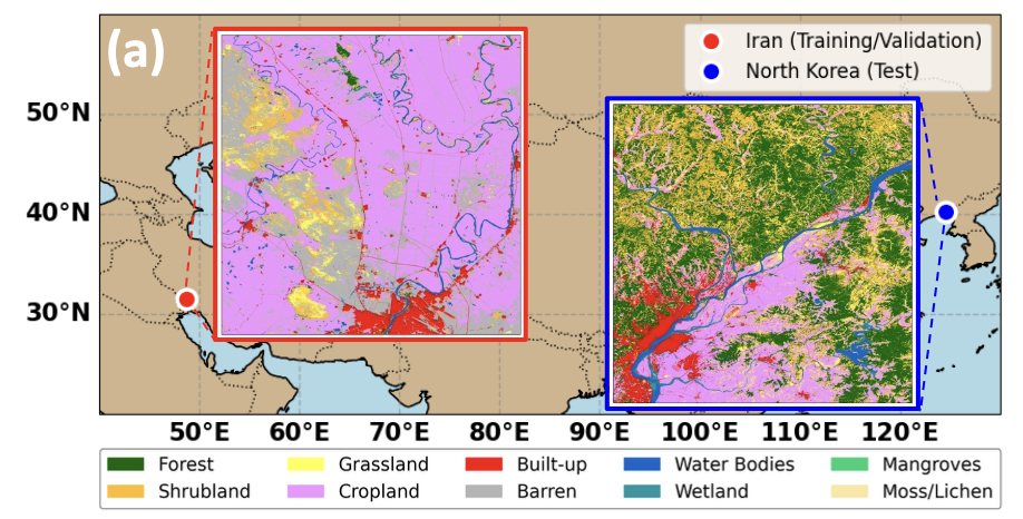
The methodology will involve acquiring satellite data such as SMAP, SMOS, ASCAT, Sentinel, etc. to identify areas where ecosystem modifications have taken place. We also use data from land surface models such as the Noah-MP model to simulate water balance components and calculate the subdaily variability of the global terrestrial water cycle. In addition, we analyze various climate models to identify any future trends or projections related to the subdaily global terrestrial water cycle. This will help us better understand the implications of our findings for the future. Overall, our methodology will involve combining data from various sources and using multiple analytical techniques to gain a comprehensive understanding of how human-driven changes to ecosystems and land covers impact the subdaily global terrestrial water cycle.
Data and analytic skills we use for this project
- Various Earth observing satellite data sets from NASA, ESA, and JAXA (check the remote sensing project page)
- Land surface models data simulated from LIS (check the modeling project page)
- Water budget equations and explainable machine learning algorithms (check the machine learning project page)
- We use publicly available tool packages in Python, MATLAB, Land Information System (LIS), and Land surface Data Toolkit (LDT)
This project aims not only to investigate the impact of human activities on the speed of the water cycle but also to explore other related research topics below. If you are interested in any of the following research areas, please do not hesitate to contact me!
- Quantifying the urban heat island effect using high-resolution satellite data and land surface models: Investigate the influence of urbanization and human activities on local microclimates, including temperature and humidity variations, to inform urban planning and mitigate negative impacts.
- Assessing the impact of agricultural expansion on regional hydrological cycles: Combine satellite data and land surface models to analyze changes in water balance and availability in regions with significant agricultural expansion and the resulting implications for water resources management.
- Monitoring deforestation and land use change using machine learning techniques: Develop novel algorithms to detect and quantify human-driven deforestation, afforestation, and reforestation activities, and their impacts on carbon sequestration and biodiversity.
- Analyzing the effectiveness of nature-based solutions in mitigating climate change: Investigate the potential of ecosystem restoration, reforestation, and regenerative agriculture in reducing greenhouse gas emissions and improving the resilience of terrestrial ecosystems.
- Investigating the role of transportation networks in shaping regional land use and land cover patterns: Analyze the impact of roads, railways, and other transportation networks on land use changes, habitat fragmentation, and associated environmental consequences.
- Quantifying the effects of large-scale mining operations on local and regional hydrology: Use remote sensing and land surface models to evaluate the impacts of open-pit mining, mountaintop removal, and other large-scale mining activities on surface and groundwater resources.
- Evaluating the effectiveness of land management practices in reducing wildfire risks: Combine satellite data and land surface models to assess the influence of human activities, such as forest thinning and controlled burns, on wildfire frequency, intensity, and spread, and their implications for carbon emissions and ecosystem health.