Satellite data combined with advanced machine learning algorithms have revolutionized flood and drought prediction in Earth science, providing more accurate and timely predictions to mitigate their impacts
Satellite data and machine learning have revolutionized the field of Earth science by providing new ways to predict and monitor natural disasters like floods and droughts. The combination of remote sensing from satellites and advanced machine learning algorithms has led to more accurate and timely predictions, which are crucial for mitigating the impacts of these events.
Here's how they work together:
- Data collection: Satellites orbiting the Earth collect vast amounts of data related to weather patterns, soil moisture, vegetation cover, land surface temperature, and topography. Remote sensing satellites, such as those equipped with Synthetic Aperture Radar (SAR) and multispectral imaging sensors, can penetrate cloud cover and provide high-resolution imagery of the Earth's surface in different wavelengths, which is essential for monitoring and predicting floods and droughts.
- Machine learning models: Advanced machine learning algorithms, such as neural networks, decision trees, and support vector machines, are trained on historical satellite data and ground observations to identify patterns and relationships between different variables. These models can then be used to predict the likelihood of floods and droughts occurring in specific regions and at specific times.
- Real-time monitoring and prediction: Once the machine learning models have been trained and validated, they can be used to analyze real-time satellite data and generate predictions for floods and droughts. These predictions can then be communicated to relevant authorities, who can take appropriate action to mitigate the potential impacts.
- Continuous improvement: As more satellite data becomes available and machine learning algorithms continue to evolve, the models can be regularly updated and fine-tuned to improve their accuracy and reliability. This ensures that Earth scientists can provide better predictions and early warnings for floods and droughts, ultimately reducing their devastating effects on communities and ecosystems.
What we aim to achieve
We use machine learning to enhance the accuracy and reliability of flood and drought predictions by uncovering complex patterns within satellite data. This helps improve early warning systems, support adaptive management and decision-making, and fosters a deeper understanding of underlying processes, ultimately contributing to more resilient societies and ecosystems.
Data and analytic skills we use for this project
To achieve the tasks of predicting floods and droughts using satellite data and machine learning, we need a diverse set of analytic skills and data sources, including:
- Data preprocessing: We need to be proficient in data cleaning, normalization, and transformation techniques to ensure the quality and consistency of satellite data before it is used for analysis.
- Feature extraction and selection: Knowledge of feature extraction methods and techniques, such as principal component analysis (PCA) and vegetation indices, is crucial for creating relevant datasets from satellite data.
- Machine learning and artificial intelligence: We should be well-versed in various machine learning algorithms (e.g., neural networks, decision trees, support vector machines) and their applications, as well as techniques for model evaluation, validation, and optimization.
- Programming and data manipulation: Proficiency in programming languages (such as Python, R, or MATLAB) and relevant libraries (e.g., TensorFlow, scikit-learn, pandas) is essential for implementing machine learning algorithms, data preprocessing, and analysis.
- Statistical analysis: A solid background in statistics is important for understanding the underlying assumptions, limitations, and interpretation of results generated by machine learning models.
- Domain knowledge: Familiarity with Earth science, hydrology, and meteorology concepts is necessary for understanding the environmental factors influencing floods and droughts and their interactions.
- Data visualization and communication: We need to effectively visualize and communicate their findings using various visualization tools and techniques to convey complex information to diverse audiences, including decision-makers and stakeholders.
By integrating these analytic skills and leveraging diverse data sources, we can effectively use machine learning to predict and manage floods and droughts, thereby contributing to more resilient societies and ecosystems. Our lab can help you develop and learn these skills.
This project aims not only to develop algorithms to predict floods and droughts using machine learning methods but also to explore other related research topics below. If you are interested in any of the following research areas, please do not hesitate to contact me!
- Development of a global real-time flood and drought monitoring and prediction system based on multi-source satellite data and machine learning algorithms.
- Integrating social media and crowdsourced data with satellite imagery and machine learning to improve flood and drought predictions, enhancing situational awareness and response efforts.
- Investigating the impact of climate change on flood and drought patterns using satellite data, machine learning, and climate model projections to inform adaptation strategies.
- Assessing the relationship between urbanization, land use change, and flood and drought vulnerability using machine learning-based analysis of high-resolution satellite imagery.
- Developing a machine learning-based early warning system for flash floods by combining real-time satellite data, ground-based observations, and hydrological models.
- Investigating the potential of using satellite-derived soil moisture data in conjunction with machine learning techniques to improve agricultural drought prediction and optimize irrigation management.
- Exploring the use of machine learning algorithms for the automatic detection and classification of flood and drought damage in satellite imagery, aiding damage assessment and recovery efforts.
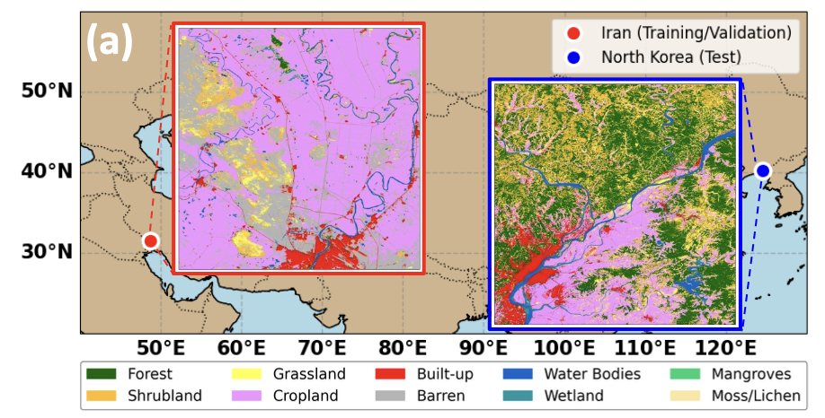
- Development of transfer learning techniques to improve the applicability of machine learning models for flood and drought prediction across diverse geographical regions and varying data availability scenarios.
- Assessing the effectiveness of various machine learning algorithms and ensemble techniques in predicting floods and droughts under different environmental conditions, data sources, and spatial resolutions.
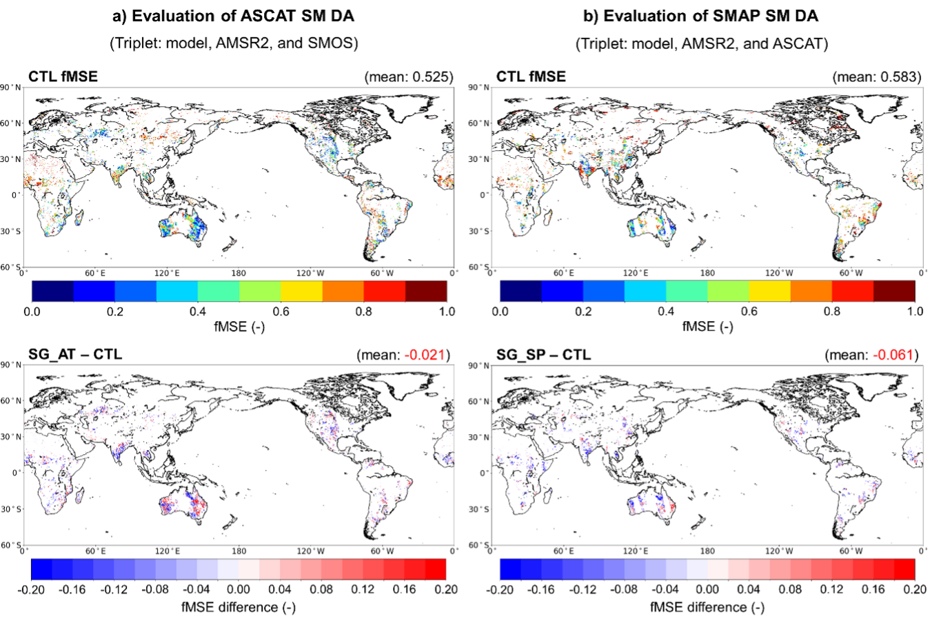
- Investigating the potential of integrating satellite-based precipitation estimates with in-situ data and machine learning techniques to improve hydrological forecasting and water resource management in data-scarce regions.