The Weather Research and Forecasting – Hydrological modeling system (WRF-Hydro) is an advanced, community modeling framework developed by the National Center for Atmospheric Research (NCAR) in collaboration with NASA and NOAA. It couples atmospheric processes with terrestrial hydrology, enabling high-resolution simulations of water movement across the land surface and within river networks.
Why WRF-Hydro Matters
Traditional hydrological models often treat rainfall as an external input, independent of atmospheric dynamics. WRF-Hydro changes this by providing a fully coupled land–atmosphere system, where precipitation, evapotranspiration, soil moisture, and runoff are simulated together. This allows researchers to study flash floods, drought onset, and land–atmosphere feedbacks under both current and future climate conditions.
Our Lab’s Approach
In our group, WRF-Hydro is considred for:
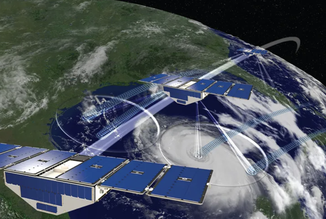
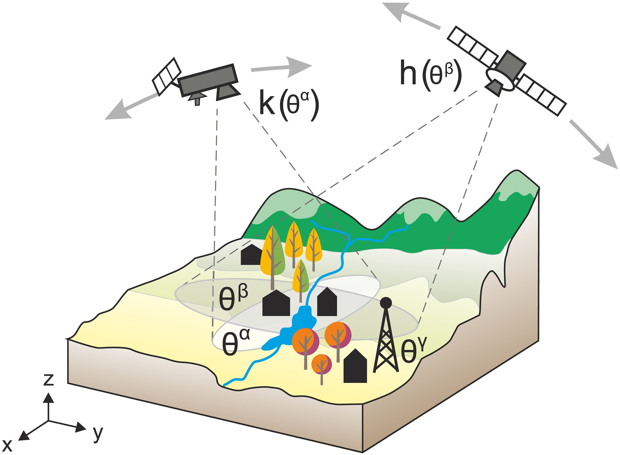
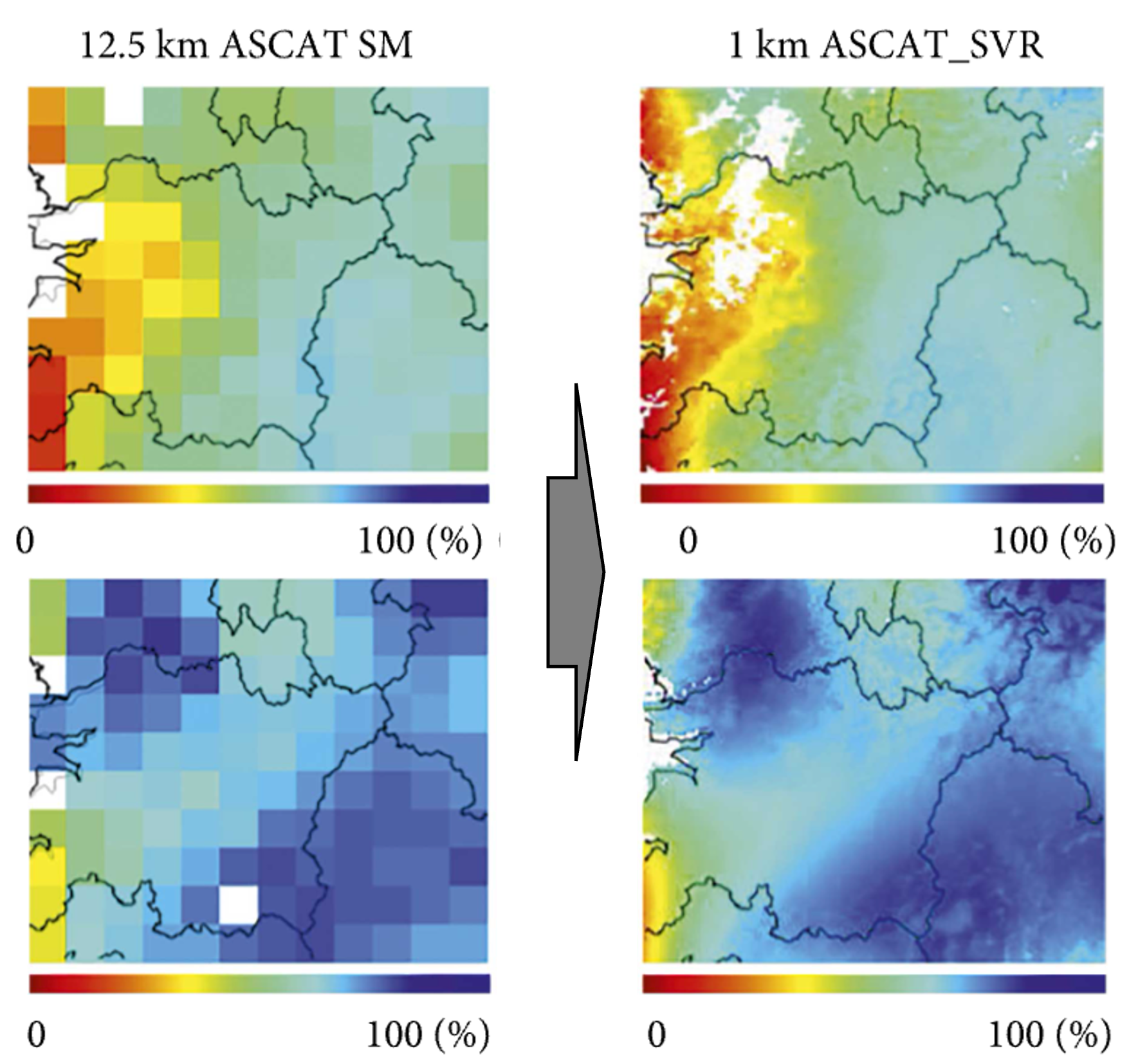
1. Assimilate satellite soil moisture (e.g., SMAP, ASCAT, CYGNSS) to improve initial land states.
2. Downscale reanalysis and climate projections (e.g., ERA5, KIM) into basin-scale hydrological forecasts.
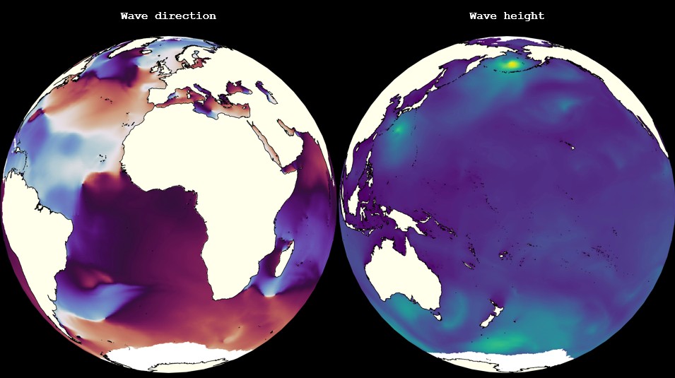
3. Test surrogate models (e.g., Fourier Neural Operators, physics-informed neural networks) that replicate WRF-Hydro outputs at much lower computational cost.
4. Evaluate water extremes by simulating floods, droughts, and land–atmosphere interactions across Korea and East Asia.
Why This is Exciting for Students
Working with WRF-Hydro provides the opportunity to engage with:
1. Coupled modeling at the interface of weather and hydrology.
2. Data assimilation techniques that merge models with real-time satellite observations.
3. Machine learning integration with physics-based systems, creating hybrid approaches.
4. Applied science for society, with direct impact on flood risk management, drought monitoring, and climate adaptation strategies.
Looking Ahead
By combining WRF-Hydro with AI techniques such as LoRA fine-tuning and foundation models, we envision a new generation of physics-aware, data-driven hydrological forecasting systems. These systems can provide faster, more reliable predictions of water extremes, advancing both scientific knowledge and societal resilience.


