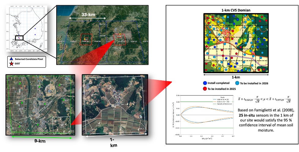
Our team is developing the first NASA satellite core validation site in Korea, designed to support next generation Earth observation and land data assimilation research. Located in the Hampyeong and Naju region, this site integrates dense in-situ soil moisture networks, L-band radiometer observations, drone-based microwave and lidar measurements, and multi-sensor ground platforms. By building a high quality calibration and validation testbed that follows NASA standards, we aim to enhance the reliability of satellite soil moisture, vegetation water content, and hydrological products over East Asia. This new site will also serve as a hub for international collaboration, linking researchers from Korea, NASA, MIT, and global partners to advance remote sensing science and support improved prediction of droughts, floods, and land-atmosphere processes.

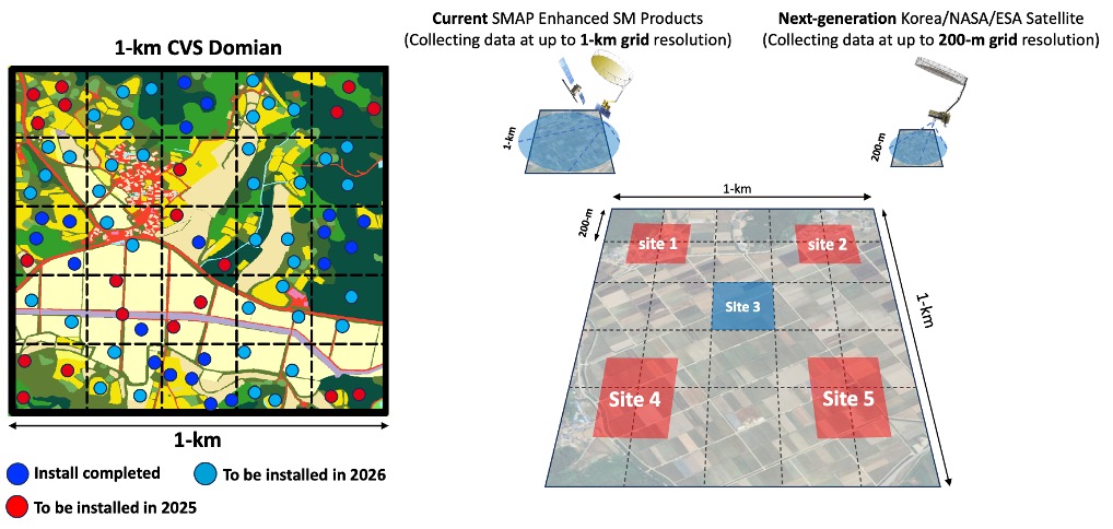
Current satellite based soil moisture products typically operate at a spatial scale of about 1 km, but the next generation missions and retrieval systems will provide soil moisture information at a much finer 200 m resolution. To prepare for this shift, our team is constructing a world first validation site designed specifically for 200 m by 200 m grid scale observations. We are building a network of 25 high resolution grid cells, each equipped with dense soil moisture sensors, vegetation and surface temperature measurements, and coordinated drone and radiometer surveys. This unique design will allow us to evaluate 200 m level satellite soil moisture retrievals with unprecedented accuracy and to support the upcoming era of high resolution land monitoring in Korea and across East Asia.
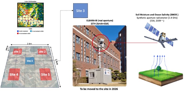
The ground based L band radiometer installed at the core validation site will also play a central role in calibrating our L band drone radiometer system. By providing stable, continuous, and well characterized brightness temperature measurements from a fixed tower, the ground radiometer allows us to establish a reliable reference for airborne observations collected during drone flights. This coordinated calibration framework ensures that the drone based L band measurements remain consistent with ground truth, enabling accurate evaluation of high resolution soil moisture retrievals and improving the overall quality of our multi platform observation system.
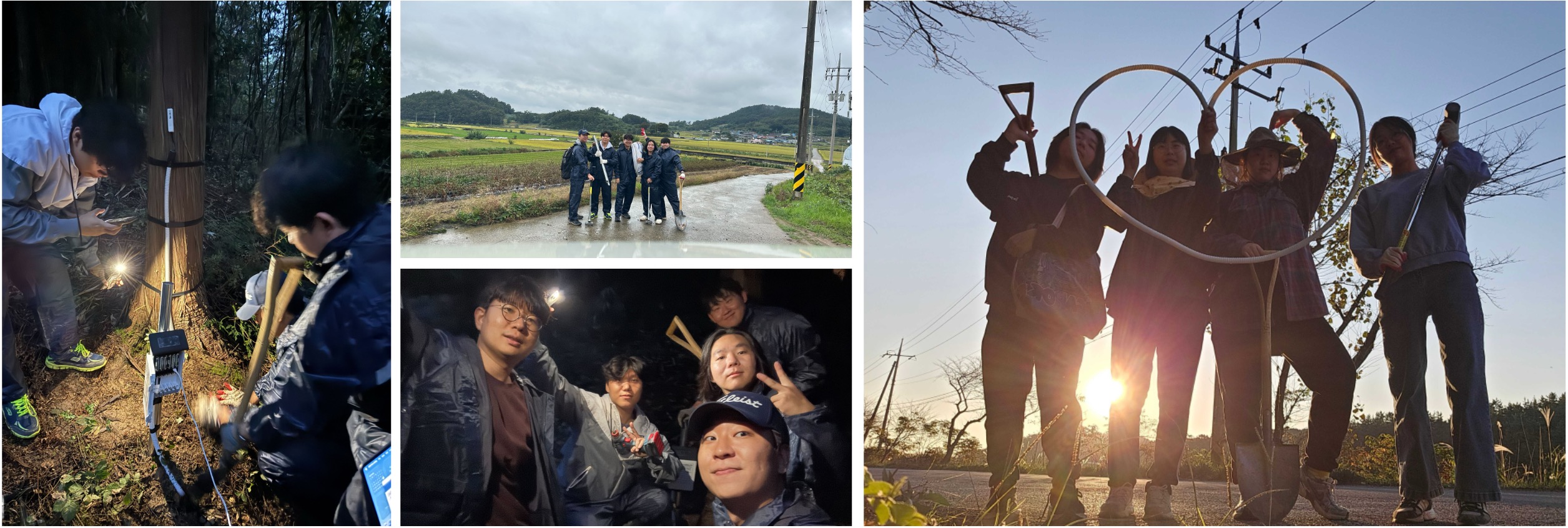
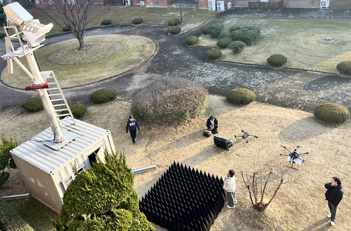
Finally, this project is possible thanks to the dedication of our lab members who have worked tirelessly to design the network, install sensors, coordinate drone campaigns, and maintain the instruments under challenging field conditions. Their commitment to building a world class validation site in Korea is the foundation of this effort, and I deeply appreciate the teamwork, patience, and scientific passion that each member brings to the field and to the lab every day.