Some droughts arrive within weeks rather than seasons. This project asks whether such flash droughts stay in the soil or reach the groundwater below.
At a glance
- Theme: Flash drought and groundwater
- Observations: Satellite gravimetry (GRACE), soil moisture
- Approach: Land models that take in satellite data, artificial intelligence
- Scale: Global

The basics
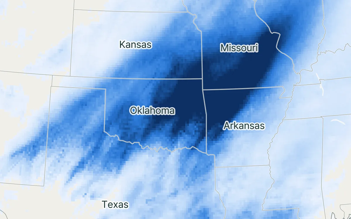
Drought usually builds slowly: months with too little rain, then dry soils, then low rivers and falling groundwater. A flash drought is different. A few weeks of little rain together with heat, sunshine and wind dry out the root zone at unusual speed, and crops can be damaged before a drought has even been declared. The drought of 2012 in the central United States is the best-known example.

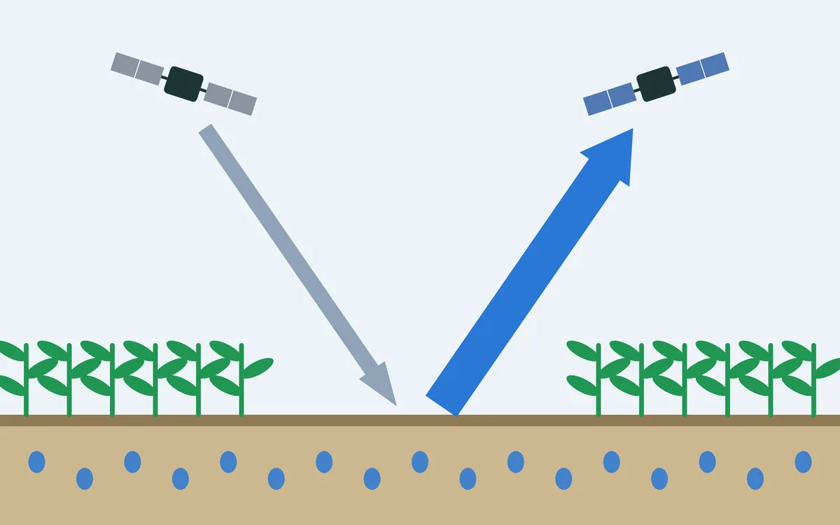
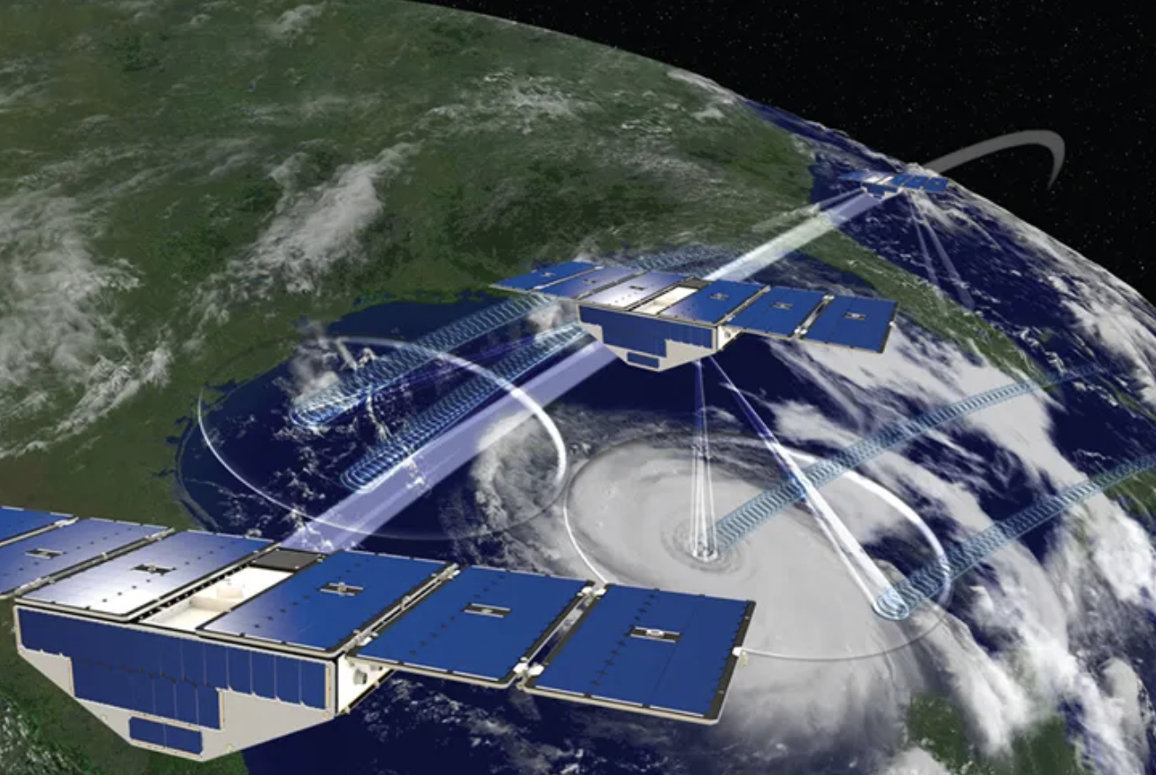
Below the root zone lies the groundwater. It holds far more water than the soil above it and normally changes slowly, fed by the water that drains down through the soil and drawn on by wells and rivers. It can be followed from space: the twin GRACE satellites measure tiny changes in the Earth's gravity, and from these one can tell how much water a region has gained or lost in total, groundwater included.

The challenge
Flash droughts are defined and watched through soil moisture. Groundwater is the largest store of liquid fresh water on land, yet it is watched over years and decades, and mostly through wells, which are few in much of the world. Whether groundwater also responds to droughts that last only weeks has remained an open question.
Our focus
Using two decades of satellite observations of the water stored on land, together with land models, we look across the globe at how groundwater responds when the soil above it dries out fast.
Why it matters
If groundwater responds within weeks or months, that matters for wells, rivers and ecosystems during a drought, and groundwater could itself serve as a sign of drought where wells are not monitored.