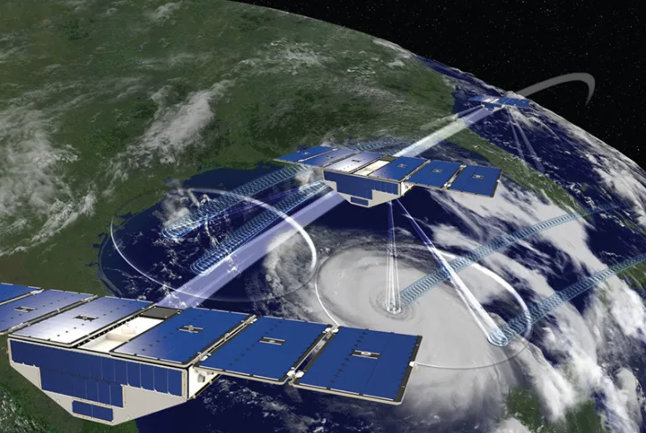
CYGNSS is a group of eight small NASA satellites built to measure the wind in tropical cyclones. They work by catching navigation signals that have bounced off the Earth. Over land the same echoes tell how wet the soil is, several times a day. This review sums up the first seven years of that record: what it can do, where it falls short, and what should come next.
At a glance
- Theme: Soil moisture from reflected navigation signals (GNSS reflectometry)
- Satellites: CYGNSS: eight small satellites that cover the land between 38° north and 38° south
- Record examined: March 2017 to March 2024
- Kind of work: A review, with an analysis of the mission's own data
- Lead author: Dr. Hoang Hai Nguyen
- Status: Published

The basics
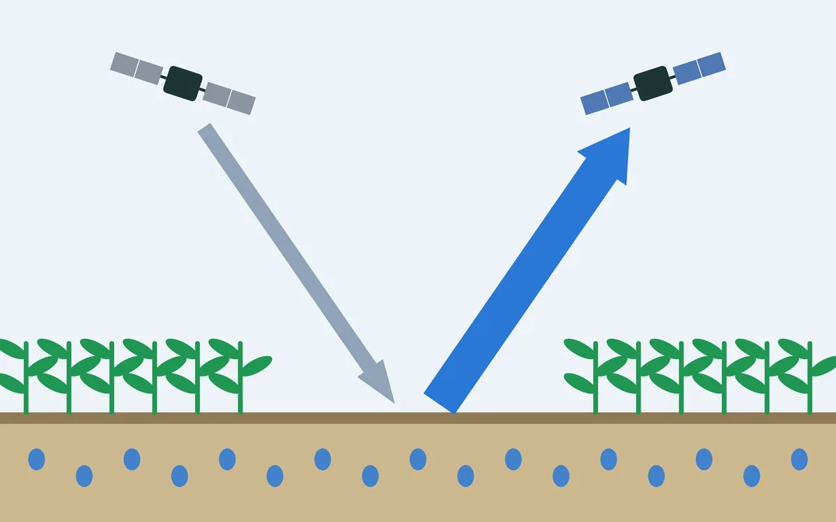
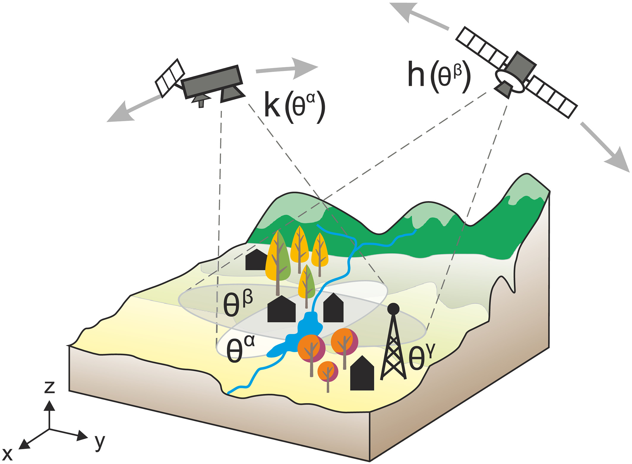
Navigation satellites such as those of GPS send radio signals to the Earth all the time. Part of each signal bounces off the surface and back into space. The CYGNSS satellites carry no transmitter. They only listen for these echoes, which is why they can be small and why there can be eight of them. Each follows four echoes at once, so the eight together make 32 measurements every second.
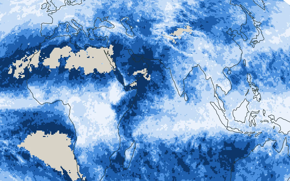
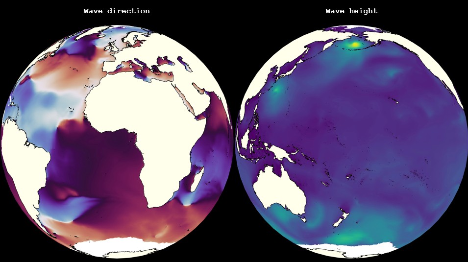
Wet soil reflects more of the signal than dry soil, and that is how soil moisture is read from the echo. The mission was launched in December 2016 for another purpose, the wind over the tropical oceans, and its orbits keep it between 38° north and 38° south. What it offers over land is frequency. A satellite built for soil moisture, such as NASA's SMAP, passes a place once in two or three days. CYGNSS was designed to return to a place after three hours, taking the median.
What the review does
Soil moisture was not part of the mission's plan, and what has been learned about it since is spread over many studies. The review brings it together. It explains the principle, examines seven years of the mission's raw measurements to show how its sampling really behaves, sums up how the methods of retrieval deal with the sources of error, names the open problems and points to the next steps.
How often, and how fine

On a grid of 36 km, a cell is observed by CYGNSS about 11 times a day at the equator and about 30 times near 35° north and south. SMAP and the European SMOS observe it once a day or less. Beyond 38° CYGNSS sees nothing, while the other two reach the high latitudes. The time between two CYGNSS observations of a cell is about 5 hours in the subtropics and about 15 hours in the tropics, taking the median.

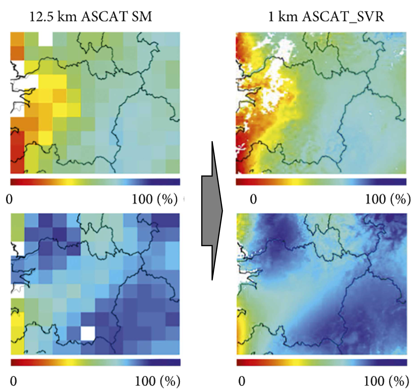
Frequency is paid for with detail. Over the seven years a cell of 36 km collected at least 20,000 observations, a cell of 3 km at most 600. A coarse cell is seen often but mixes fields, forest and water. A fine cell is clean but is seen too seldom to follow the soil from day to day. Which grid to use depends on the purpose.
What stands in the way
Some of the difficulties lie in the physics of the echo. It has two parts: a mirror-like part that comes from a spot about half a kilometre across, and a diffuse part scattered from an area of about 25 km. How much each contributes over land is still debated, and the answer changes what the echo means. Vegetation and rough ground weaken the echo, and open water returns so strong an echo that lakes and rivers have to be masked out.
Others lie in the design of the mission. The angle at which the signal meets the ground changes from one observation to the next, whereas SMAP always looks at the same angle. The footprint and the time between observations change with latitude and with the land cover. The signal senses only the top few centimetres of soil. Most retrievals are tuned against another soil moisture product, usually SMAP, and so inherit its errors. And over tropical forest, where the vegetation is dense, the echo says least about the soil.
What comes next
The review names several directions. CYGNSS can be merged with SMAP and SMOS, which adds the hours of the day to their record. It can be combined with imaging radars such as Sentinel-1 and NISAR, which see fine detail but seldom. Its soil moisture can be fed into land models to improve forecasts of floods and droughts. And deep learning can make more of the large volume of data, provided that what the networks have learned can be explained.
Why it matters
After rain the soil changes within hours. A look every two or three days misses how fast it wets and dries, which is what matters for floods, for flash droughts and for the weather of the next days. Small satellites that listen to signals already in the air are a cheap way to fill those hours.
The paper
Nguyen, H. H., Kim, H., Crow, W., Yueh, S., Wagner, W., Lei, F., Wigneron, J.-P., Colliander, A., and Frappart, F. (2025). From theory to hydrological practice: Leveraging CYGNSS data over seven years for advanced soil moisture monitoring. Remote Sensing of Environment, 316, 114509. The work was done with colleagues at the Agricultural Research Service of the United States Department of Agriculture, NASA's Jet Propulsion Laboratory, the Vienna University of Technology, the University of Connecticut and INRAE in Bordeaux.